
The Air Alert app now has a map of the approximate movement of enemy drones and missiles. It is available to users across Ukraine, including in the Bucha area.
This was reported by Prime Minister Serhii Koretskyi.
The map was created by the Ministry of Digital Transformation, the Ministry of Defence, the Air Force and Ukrainian IT companies. According to the prime minister, people should get information verified by the military quickly instead of searching for reports in unverified sources.
At the same time, the map does not show the exact location of targets in real time. When an alert is declared, people should go to a shelter immediately and stay there until the all-clear, Koretskyi stressed.
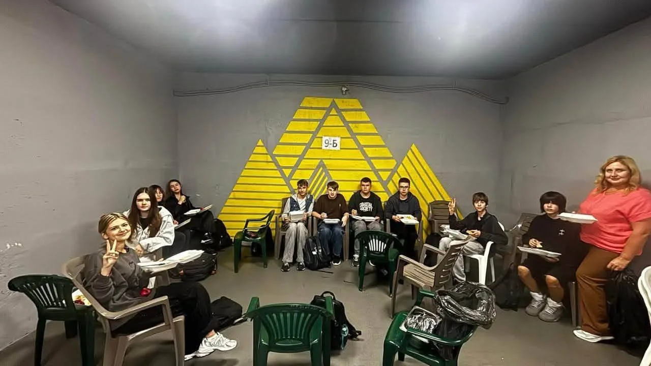
As a reminder, the government has also set out how schools should teach during long air raid alerts.
Nota bene
Bucha FM is an independent news site and station for the Bucha district. We cover what matters to the community, and we work for you — and because of you. Joining the people who make this possible is simple: support us with any amount.


Comments
No comments yet — be the first.